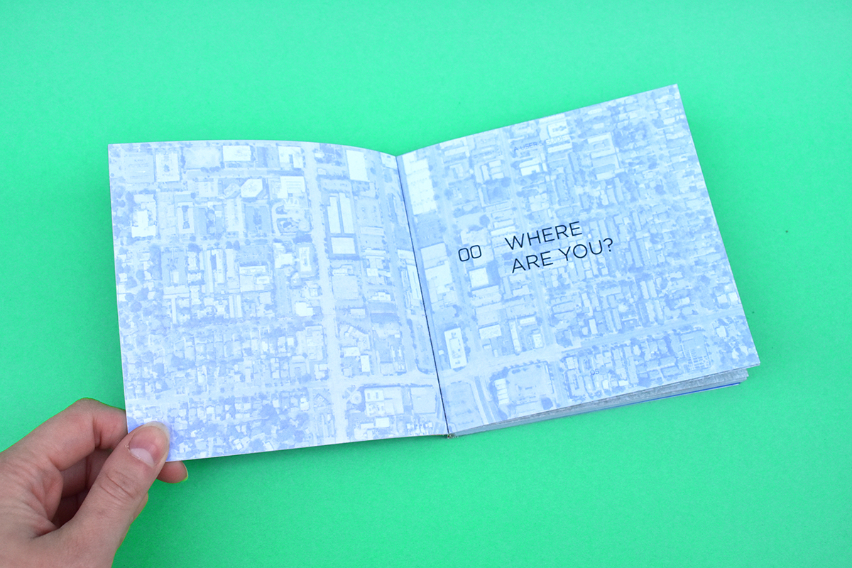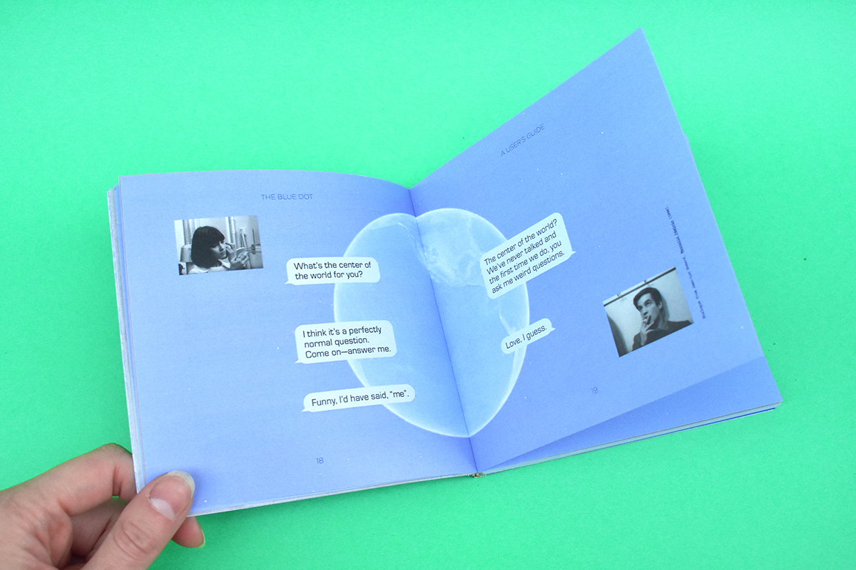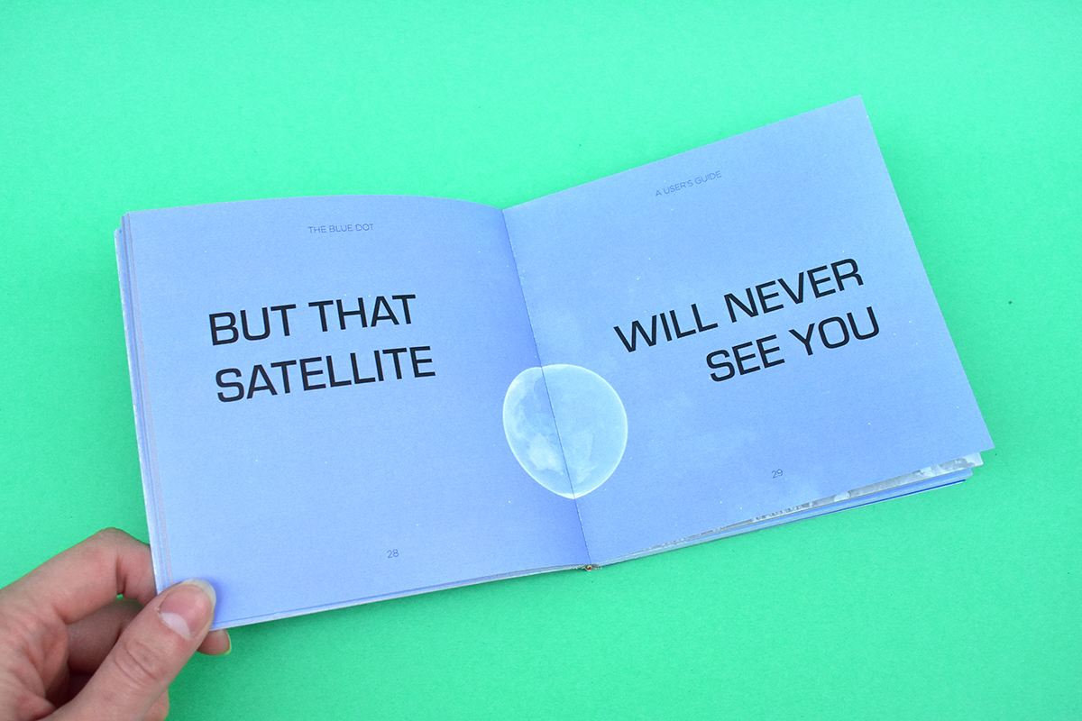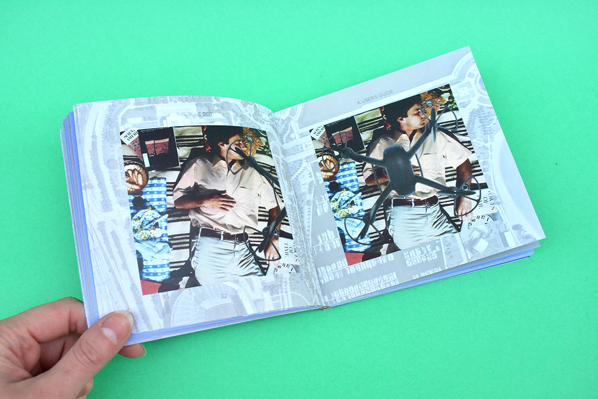
The Blue Dot: A User’s Guide (the book!)
Media Design Practices Post-Graduate Fellowship Project2018 / 7-week project
CATEGORIES: visual + illustration, publication
KEYWORDS: location, mobile technology, technology literacy, GIS, Google Maps
After building an interactive exhibit that unpacks the user experience of Google Maps, I wrote, designed, illustrated, and published a 90-page book that meditates on the historical and cultural dimensions of the question:
How has Google Maps designed how its users experience the world?
PROJECT OUTCOMES
I designed this book as both a companion to and an extension of the interactive installation of the same name that was exhibited in the 2018 MDP Thesis Show. It complements the physical and spatial experience of the installation by serving as a written meditation on the historical and cultural dimension of our user relationships with Google Maps. Both incarnations of The Blue Dot revolve around a broader question:
How do technologies reshape how people are able to use the world around them?
Much of this book was based on my written thesis: Global Repositioning Systems (or How to Navigate the Margin of Error), where I put my design research in the context of the historical and cultural dimensions of mapping and navigation. If you want to read it, be my guest!