Street View Drawing Machine
2017 / 2-week projectCATEGORIES: prototyping, interaction, design research
KEYWORDS: Google Street View, drawing, perspective, navigation
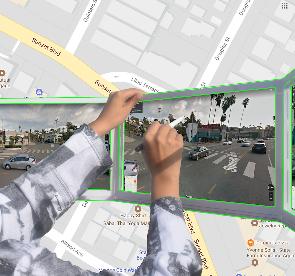
I created a physical prototype of a “drawing machine” that allows users to capture a panorama in a similar way to how Google Street View captures images:
What if drawing your surroundings could also be a way of navigating them?
↳ Video showing different ways that the Street View Drawing Machine enables users to capture information about the space around them.

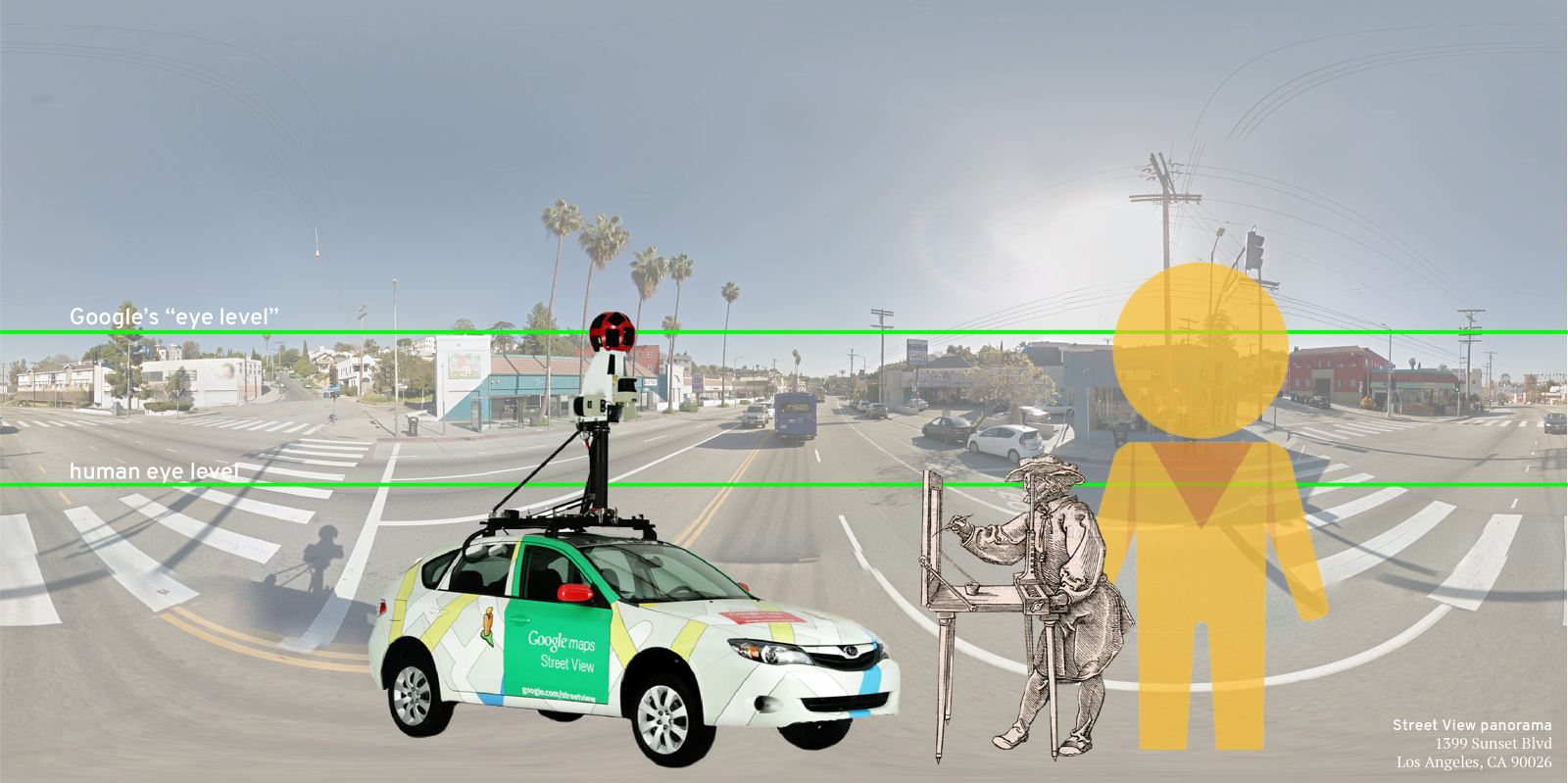
↳ Concept collage for the Street View Drawing Machine, showing the difference in eye level between the Street View car and that of a human on the sidewalk.
PROJECT OUTCOMES
The Street View Drawing Machine begins to make tangible what it not immediately obvious about Google Street View Imagery: it’s not taken at a human’s eye level. Instead, Google’s fleet of imaging devices take 360-degree photographs from as high as 9ft on top of the Street View car.
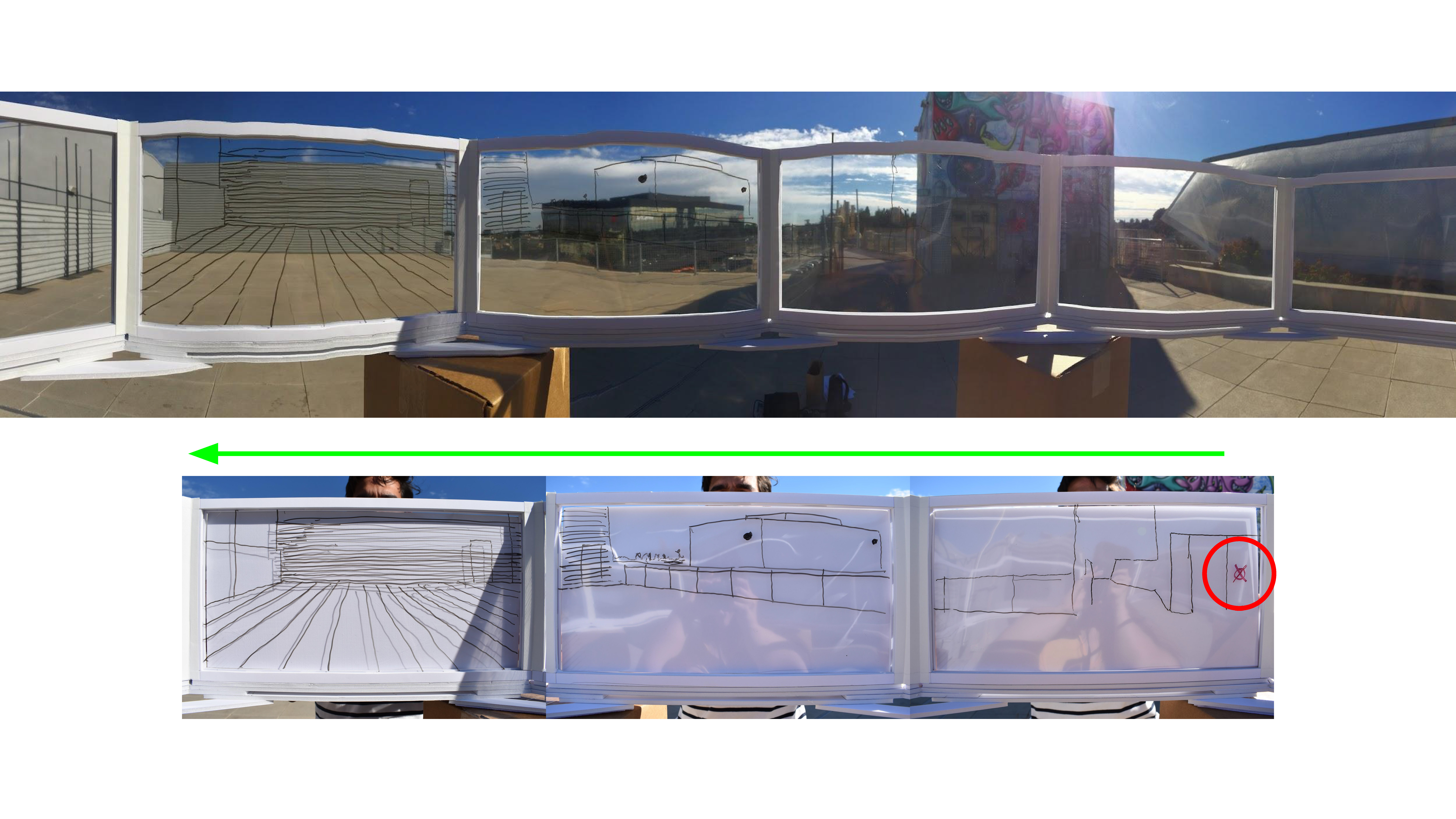
With the Drawing Machine, users were able to capture their surroundings at different levels of fidelity. Although this “device” doesn’t necessarily have a practical purpose, it reinforced the idea that no matter how it is produced, an image of a sidewalk is not objective (and probably shouldn’t be used to diagnose the health of a community 🤔...)
I would like to take this panoramic drawing device a step further and design a portable version—bringing it into dialogue with surveying instruments commonly used to map and define the human environment.
PROCESS
 ↳ Testing the Drawing Machine indoors.
PROTOTYPING + USER TESTING
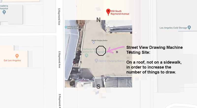
I built the first prototype out of foamcore, clear plastic sheeting, and cardboard boxes to hold up the apparatus. After testing it indoors, I brought it outdoors and invited some users to capture their surroundings.
Each user followed these instructions:
While sitting on the stool at the center of the apparatus, align yourself so that you a parallel to one plane.
Close one eye and (with black marker) trace what you see through that plane as best you can—try to keep your head as still as possible!
Turn (clockwise or counterclockwise), align yourself with a new plane, and continue tracing.
You have 5 minutes to capture as much as possible about your surroundings. At the end of the 5 minutes, put an X on the plane (with red marker) that points approximately in the direction of where you live.
USER 01: Akash

User 02: Tiff

User 03: Nicci

User 04: Sally
